
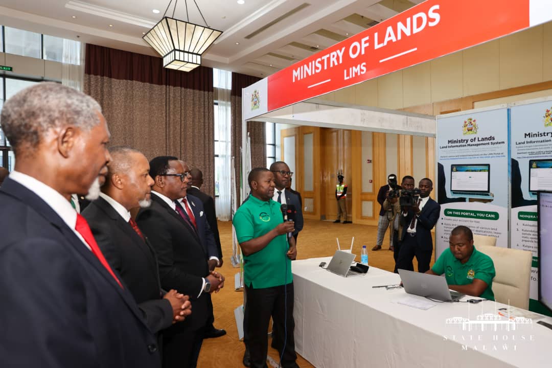
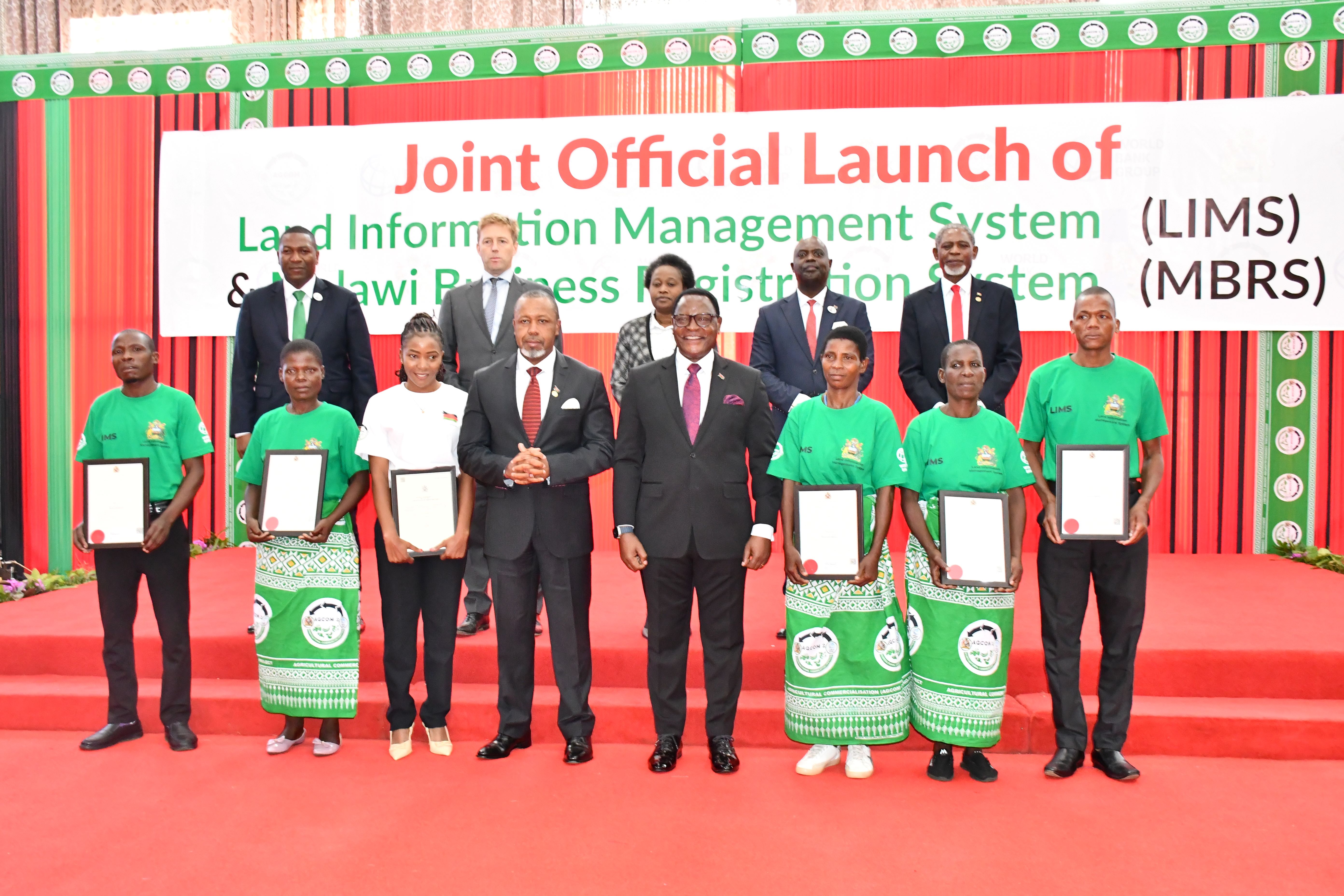
Ministry of Lands, through the World Bank financed Agricultural Commercialisation Project (AGCOM) which is under the Ministry of Agriculture, is implementing Land Information Management System (LIMS). The aim of developing and operationalize LIMS is to improve efficiency and effectiveness in the delivery of land administration services to the general public and ensure transparency and accountability on all land transactions. The objective of this project is therefore to conceptualize, design, develop and deploy a robust, effective, efficient and modern web-based system with linkages to other stakeholders.
Specifically, the project is intended to:
- Link the processes and data sets of the three key Departments of Lands, Surveys and Physical Planning as well as other stakeholders to support land administration;
- Automate all business processes in the delivery of land administration and management services;
- Ensure transparency and accountability on all land transactions;
- Reduce the time and costs associated with land transaction and registration;
- Facilitate and improve systematic adjudication, demarcation, and registration of individual land parcels;
- Improve collection of fees and taxes pertaining to land transactions;
- Provide online access to land information related to businesses, companies, and registered trusts; and
- Generate reports for management decision making.
Through AGCOM in the Ministry of Agriculture, the services of the consultant to design, supply, install and commission LIMS were hired. The contract was signed on the 10th May, 2021 between Ministry of Agriculture and Spatial Dimension South Africa (Pty) Limited, in association with Africa Bees Limited, Regional Centre for Mapping of Resources for Development (RCMRD) and Kennedy Z36 Systems. The beneficiary organization is the Ministry of Lands (Ministry of Lands).
Ministry of Lands set up the LIMS Technical Working Group (TWG) in April, 2021 to oversee the implementation of LIMS and ensure that the consultant is executing the assigment in line with the contract. The LIMS TWG is made up of representatives from all the departments of the ministry, ICT as well as Policy and Planning sections. Besides, the ministry intends to engage an independent consultant to assist in supervising the remaining activities. Terms of References (ToRs) on the recruitment of the consultant have been submitted to the World Bank for consideration and approval.
The project activities commenced on 1st June, 2021 and are planned to be carried out over a period of 20 months. LIMS is being implemented in the following phases: Inception, Review and Analysis, Design, Development, Data Capture and Conversion, Training, Go-live (Deployment) and Support and Maintenance. Inception, and Review and Analysis (Discovery), and Design Phases are already completed and currently the Development and Data capture and conversion Phases are being done in parallel.
Besides the departments within Ministry of Lands, LIMS will also be integrated to other stakeholder organisations via Application Programming Interfaces (APIs). Some of the organisations are as follows:
-
Malawi Investment and Trade Centre (MITC)
-
National Registration Bureau (NRB)
-
National Statistics Office (NSO)
-
Malawi Revenue Authority (MRA)
-
Malawi Spatial Data Platform (MASDAP)
-
Any other organisation identified as a key stakeholder during the Discovery Phase